Autodesk Forge is a powerful tool connecting design processes, data, and the web, allowing teams to create task automation and other innovative solutions. The abilities of the forge platform are extensive, potentially offering resolutions to thousands of complex problems in...
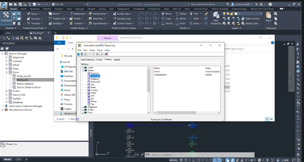
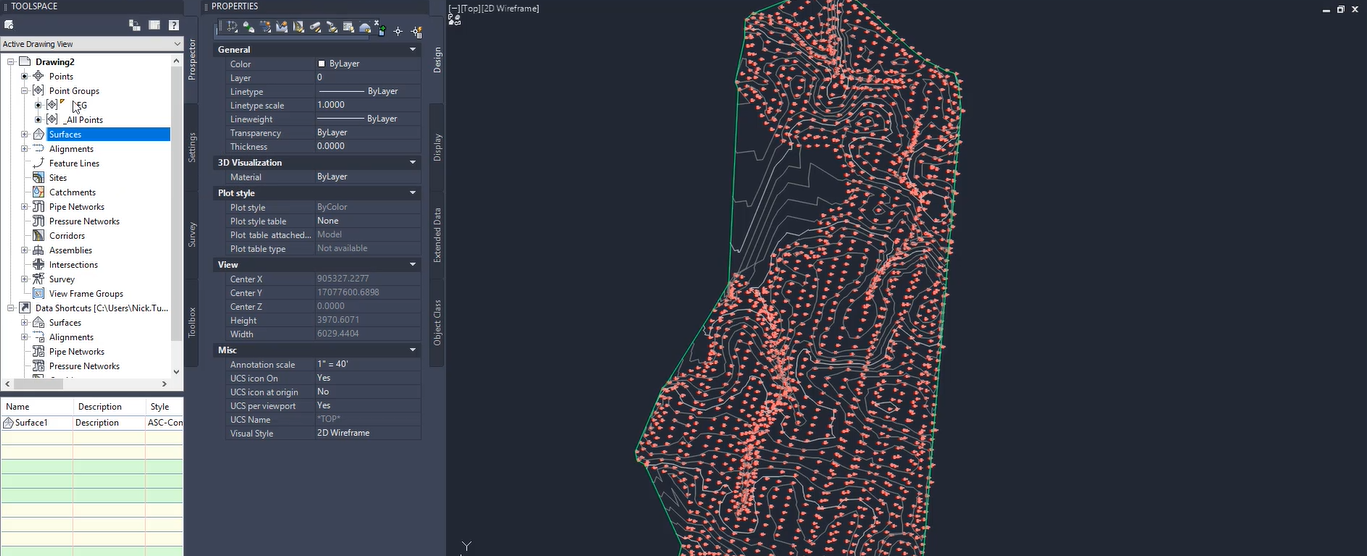
Under the Report Manager in Toolspace, Autodesk Civil 3D has some very useful tools to generate reports on any civil objects. The Points and Parcel Reports are especially handy for things like producing a legal description. But how can these...
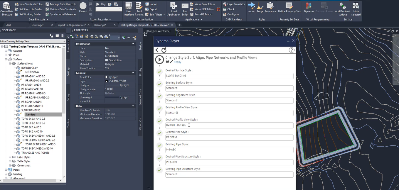
Project setup is at best a tedious task requiring repetitious selections, clicks, and entries — and then getting to do so over and over again. I think you get the idea and I’m sure we’ve all been there. Dynamo can...
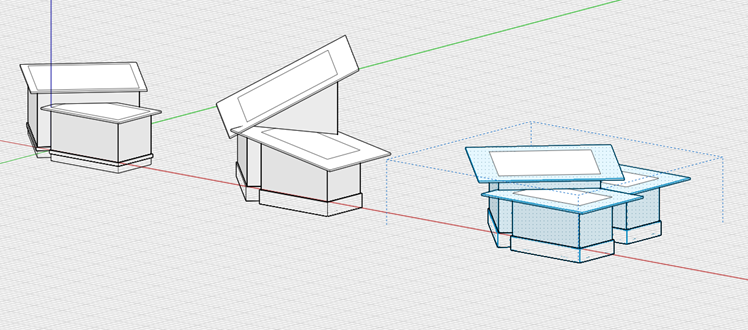
During our last FormIt webinar we shared how to transfer 3D terrain into a model through: Use of the location finder, A 2D plan to overlay a site plan onto the 3D terrain, Dynamo to quickly create a building form...
Civil 3D has long been a powerful solution for site civil design, but when it came to customizing or increasing efficiency, the options were limited. A couple years ago when you ran into the limits of what Civil 3D could do, you...
Civil 3D has long been a powerful solution for site civil design, but when it came to customizing or increasing efficiency, the options were limited. A couple years ago when you ran into the limits of what Civil 3D could do,...
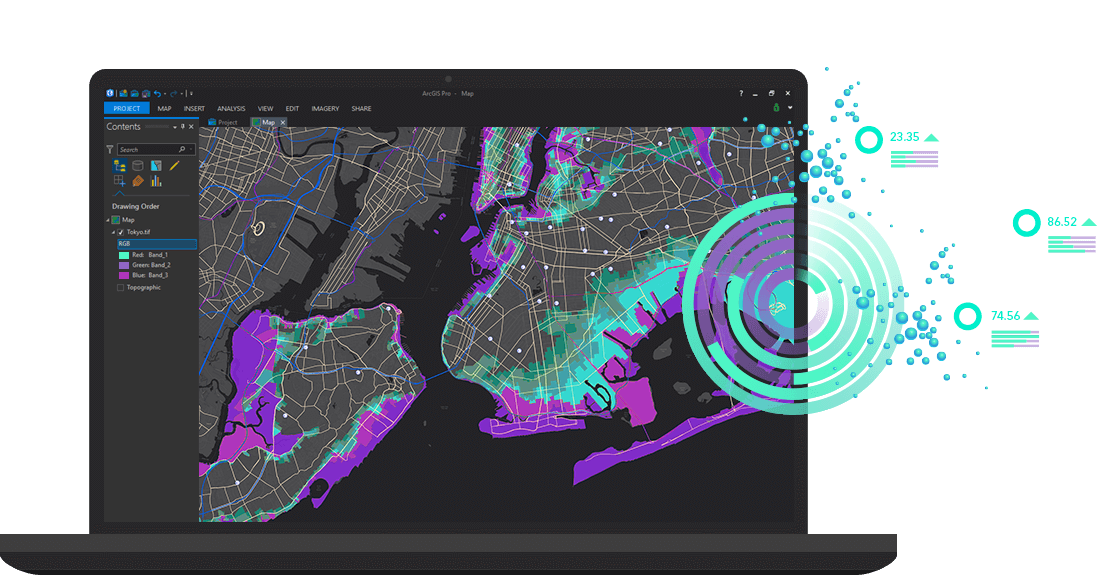
The move to incorporating CAD or BIM data from programs with rich Geographic Information System (GIS) data is growing quickly in the AEC Industry. Project design data from Autodesk Civil 3D, Revit, Infraworks, BIM 360 and AutoCAD, paired with project...
These days, most users are applying their materials through the Revit models, assigning them directly to the families. This is necessary when rendering directly in Revit and is quite useful as well when using software like Enscape or Twinmotion. It...
To help your team achieve greater efficiency in a concentrated area, our team has put together various focused improvement package offerings within the civil space. These services shorten turnaround times, strengthen workflows and automate mundane, repetitive, time-consuming tasks. See the...
As you may have heard, Autodesk is retiring software subscription plans based on serial numbers and replacing them with new plans based on people. This change will have the greatest impact on customers with multi-user licenses, and anyone with a...