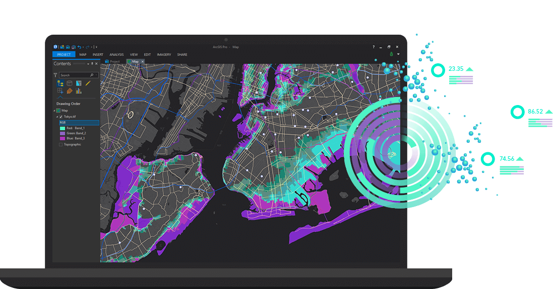
A rapidly growing trend in the Civil Engineering industry is the incorporation of Geo-Spatial information (GIS) as part of the engineering project development process. MG AEC Technology Partners ("MG"), in association with Esri and Autodesk, assist clients on much richer...
The move to incorporating CAD or BIM data from programs with rich Geographic Information System (GIS) data is growing quickly in the AEC Industry. Project design data from Autodesk Civil 3D, Revit, Infraworks, BIM 360 and AutoCAD, paired with project...
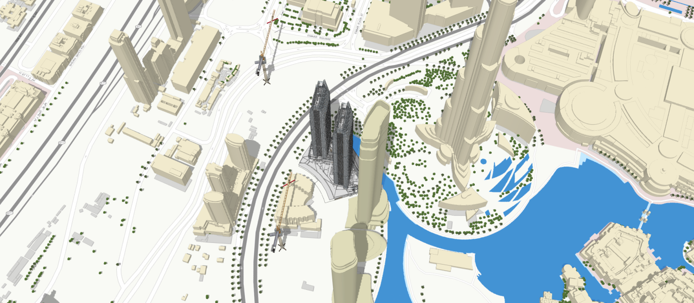
Published on September 25, 2019 By Richard Budden, General Manager, Europe at Esri Dubai Municipality and Dubai Building Permit Development Committee Launch New Strategy for BIM Across the Emirate A new strategy for Building Information Modelling that enables a faster...